How Weather Satellites Work
Weather satellites use special instruments to gather information about Earth’s atmosphere. Some carry cameras that take pictures using visible light, just like a regular camera, while others use infrared sensors that can detect heat. Infrared images are especially useful because they can show cloud patterns even at night when there is no sunlight. The satellites beam all of this data down to ground stations using radio signals. Powerful computers then turn the raw data into the weather maps and forecasts you see on TV or in weather apps.
Types of Weather Satellites
There are two main types of weather satellites: geostationary and polar-orbiting. Geostationary satellites orbit about 35,786 kilometers (22,236 miles) above Earth and move at the same speed as the planet rotates, so they always watch the same area. Polar-orbiting satellites fly much lower, about 850 kilometers (528 miles) up, and circle Earth from pole to pole. As Earth spins beneath them, polar-orbiting satellites eventually scan the entire planet. Both types work together to give scientists a complete picture of weather around the world.
The History of Weather Satellites
The first weather satellite, called TIROS-1, was launched by the United States on April 1, 1960. TIROS-1 sent back the first television pictures of Earth’s weather from space, and scientists were amazed at how much they could see. Over the next few decades, weather satellites became more powerful and more countries launched their own. Today, organizations like NOAA in the United States, EUMETSAT in Europe, and space agencies in Japan, China, and India all operate weather satellites. The technology has improved so much that modern satellites can detect changes in weather every few minutes.
Tracking Dangerous Storms
One of the most important jobs of weather satellites is tracking dangerous storms like hurricanes, typhoons, and blizzards. Satellites can spot a tropical storm forming over the ocean days before it reaches land, giving people time to prepare or evacuate. During Hurricane Katrina in 2005, satellite images helped forecasters warn millions of people along the Gulf Coast. Satellites also track tornadoes, floods, and wildfires by detecting heat signatures and smoke plumes. This early warning capability has saved countless lives around the world.
Weather Forecasting Today
Modern weather forecasting relies heavily on satellite data combined with information from weather stations, balloons, and ocean buoys. Meteorologists feed all of this data into supercomputers that run complex mathematical models to predict future weather. Thanks to satellites and computers, a five-day weather forecast today is about as accurate as a one-day forecast was in the 1980s. Forecasts help farmers decide when to plant crops, airlines plan safe flight routes, and communities prepare for severe weather. Weather apps on phones and tablets use this same satellite data to give you up-to-the-minute conditions.
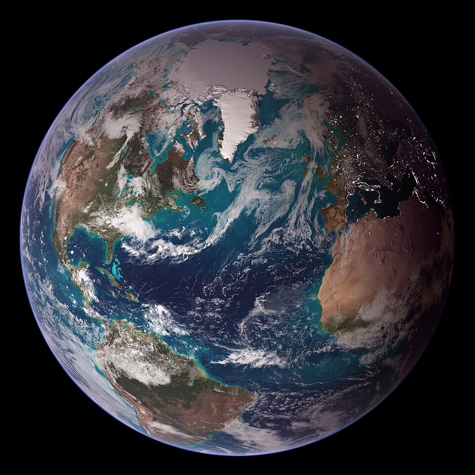
Climate Monitoring
Weather satellites do more than just help with daily forecasts — they also help scientists study long-term changes in Earth’s climate. Satellites measure things like sea surface temperatures, ice coverage at the poles, and the thickness of the ozone layer. By comparing satellite data collected over many years, scientists can track how the climate is changing. For example, satellites have shown that Arctic sea ice has been shrinking over the past several decades. This information helps leaders and communities plan for the future and protect the environment.
The Future of Weather Satellites
Scientists and engineers are always working to make weather satellites even better. Newer satellites like NOAA’s GOES-16, launched in 2016, can scan the entire Western Hemisphere every five minutes with incredibly detailed images. Future satellites will carry even more advanced sensors that can measure wind speed, rainfall, and lightning from space. Some plans include launching constellations of small satellites that work together to provide almost constant coverage of the entire planet. As satellite technology improves, weather forecasts will become more accurate, helping people stay safe during storms and plan their daily lives.